Remote Imagery At Steigerwaldt
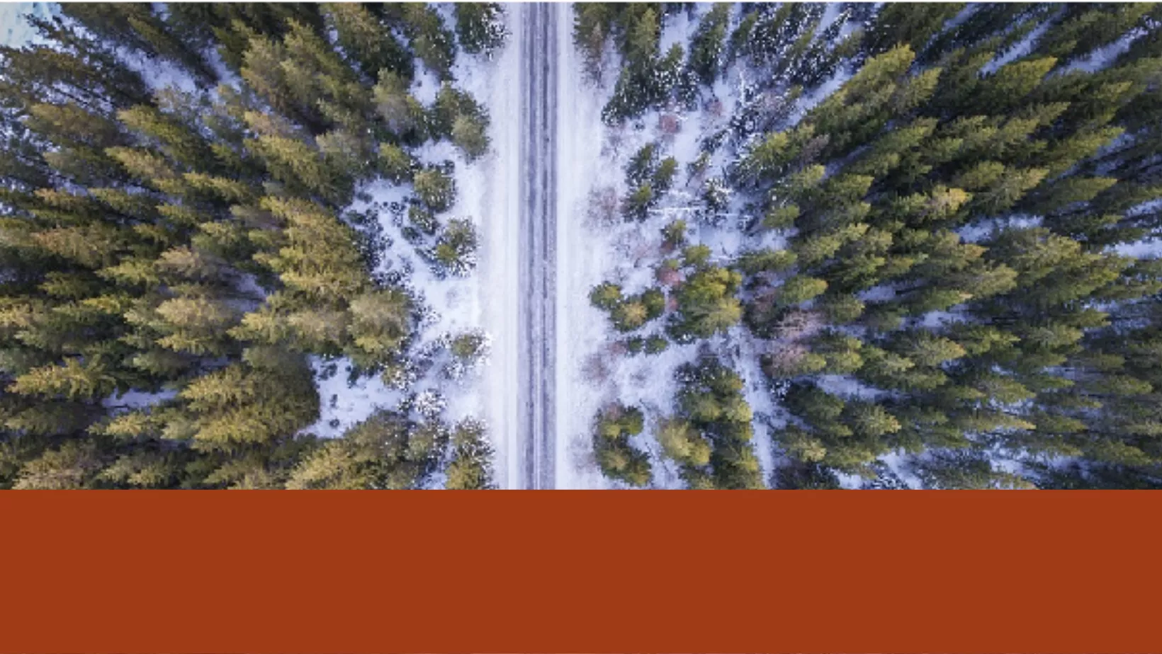
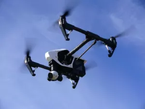
Remotely sensed imagery is a tool the Analytics and Technology Solutions department uses when doing analyses, supporting other departments, and providing products to clients. Remotely sensed data comes from a variety of sources including USGS, NAIP, Landsat, MODIS, and can also be collected using an Unmanned Aircraft System (UAS) by professionals at Steigerwaldt Land Services. 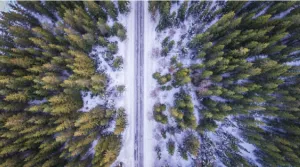
Remote sensing allows Steigerwaldt forestry professionals to investigate and process information about an area of interest sometimes without the need to directly step foot on the area of interest. Remote sensing allows us to monitor forest characteristics in both qualitative and quantitative ways to meet our client’s needs.
Common applications include:
● Monitoring land cover changes
● Harvest boundary and cutting progress mapping
● Invasive species monitoring
● Standing timber valuations
● Classification of forest cover types
● Fire damage assessments
Remote sensing is often integrated with other spatial datasets to better inform and enhance end products for internal and external clients. If you are interested in how this technology can be utilized to meet your land management and project needs, please contact us for further information.
– Nick Berg, Division Coordinator