What Can GSS Do for You?
Making sound decisions about land resources and place-based assets requires clear understanding and management of their location. Our team helps our clients answer questions of “where” through geospatial technology and analyses that allow users to see and interact with locations of key resources in the context of surrounding geography. We support this spatial awareness with our robust location analytics, along with design and configuration of interactive spatial visualization tools.
Our geospatial services span three broad categories: ESG, MAP, and PLAN.
- ESG refers to services that support environmental, social, and governance initiatives.
- Our MAP services provide spatial data collection, management, and visualization.
- PLAN includes suitability modeling and decision-support tools for site selection, as well as resiliency planning and sustainable spatial design.
Often, our projects cover multiple objectives of ESG, MAP, and PLAN, and include work such as:
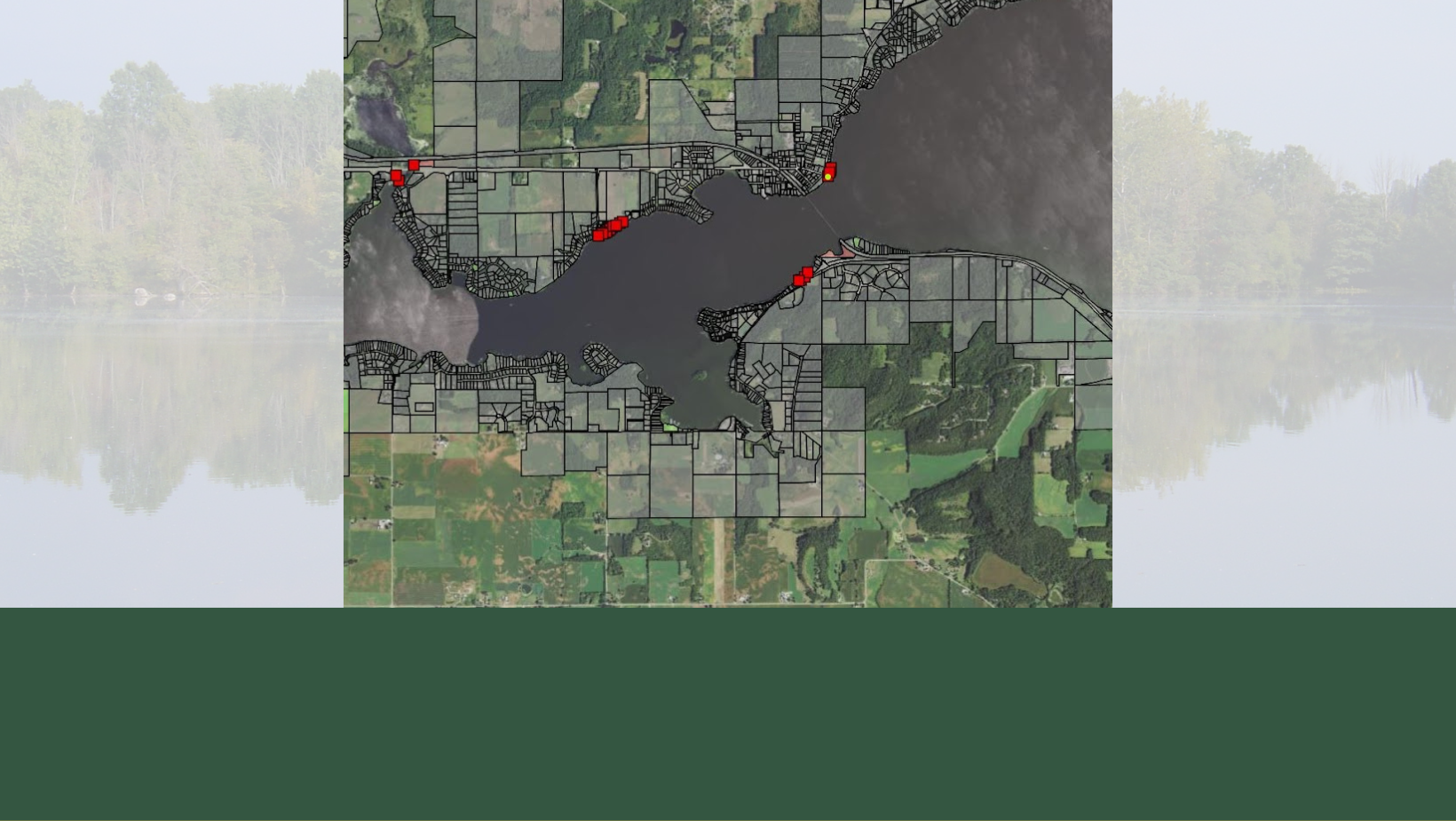
- Sustainable sourcing for forest and non-timber forest products companies.
- Land use and land cover monitoring and change detection with UAV flights and remote sensing products.
- Tourism, trail, and event mapping and GIS services for community and recreational organizations.
- Community GIS services including spatial data and asset management for tribal, state and local governments.
- Site suitability and selection for renewable energy, cooperative, and small utilities, EV and broadband infrastructure.
- Wetland banking site identification and feasibility for mitigation.
- Carbon and forest inventory, monitoring, field apps and spatial data management for forest investment enterprises.
- Vegetation inventories and monitoring field collection and web apps for environmental conservation organizations
We integrate leading geospatial technology to meet specific client and project demands, pivoting as needed to iterate, adapt, and customize deliverables as a project evolves in an agile environment. As an Esri Silver Business Partner holding the Release Ready and Federal Small Business Specialties, we are recognized for offering technical expertise with solutions, services and content using the latest ArcGIS technology. By emphasizing configurable applications (COTS), we turn around deliverables to the client quickly and cost-effectively, with supported technology and in-house expertise.
The Geospatial Solutions team is led by Janet Silbernagel, a PhD landscape ecologist and SITES® sustainable design Accredited Professional (SITES AP). Our GIS Manager, Kate Handberg, is an environmental scientist, Wisconsin certified arborist and wetland delineator. GIS Analyst/Specialist Fleming Talton holds an MS in Geography and Natural Resources, worked in precision agriculture, and is a certified UAV pilot. Division Coordinator Leland Swift, with a degree in Environment and Technology brings environmental justice and community mapping experience to the team. The Geospatial Solutions Department sits within the Analytics, Valuation and Technology Division at Steigerwaldt, who together have a wealth of expertise in forest inventory, resource analysis, data science, and land valuation. Furthermore, we are complemented by a larger team of experts at Steigerwaldt Land Services, which is a certified Woman-owned Business Enterprise (WBE).
Janet Silbernagel – Geospatial Solutions Director